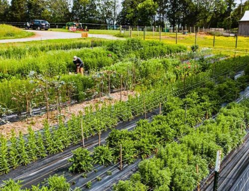
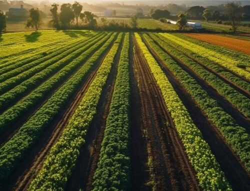
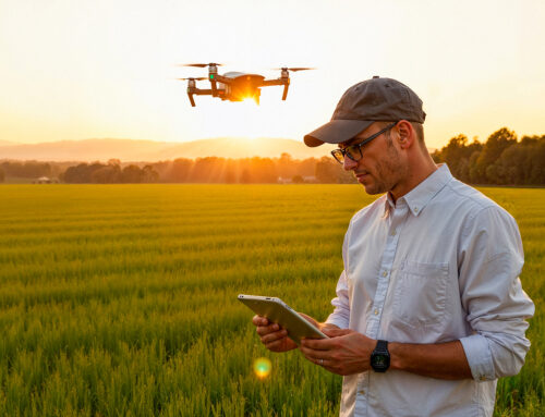
Precision agriculture succeeds when inputs are matched to actual field conditions. Drone technology enables this alignment at a resolution that traditional equipment cannot achieve.
Using high resolution and multispectral imaging, drones identify variability across fields related to nutrient stress, moisture imbalance, pests, or disease. This data is converted into actionable prescription maps that guide variable rate application. Inputs are applied only where needed and in the appropriate quantities.
The results include reduced chemical use, lower fuel consumption, and significant water savings. Because drones operate without contacting the soil, they eliminate compaction and preserve soil structure. Flying at low altitude reduces drift and improves application accuracy.
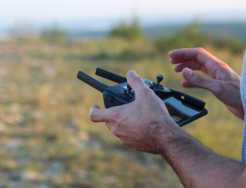
Speed is another advantage. Drones can be deployed within minutes during narrow weather windows. They operate effectively in wet or uneven terrain and enable post rain interventions that protect yield. Over a season, these advantages compound into measurable economic and agronomic gains.
Global AgriTech Solutions supports farmers in translating drone data into practical decisions. Precision technology delivers value only when insights are converted into action.